
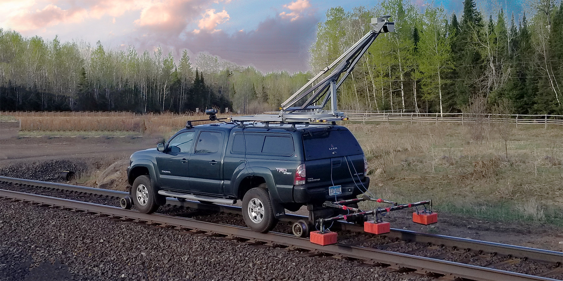
LiDAR
LiDAR data mapping provides a scan of the right-of-way to determine shoulder conditions, drainage ditch location and depth and cut/fill conditions. This track topography is used in conjunction with the GPR and track geometry analysis to identify targeted track substructure issues and their underlying origins.
LiDAR information can also be used to identify the width and height of the shoulder to determine the volume of excess or needed ballast.
Integrating the topography from LiDAR with the GPR fouling index and moisture profile data provides documented clarity on the internal drainage capacity of the track, and the adequacy of the ditch to convey water from the right-of-way.


