
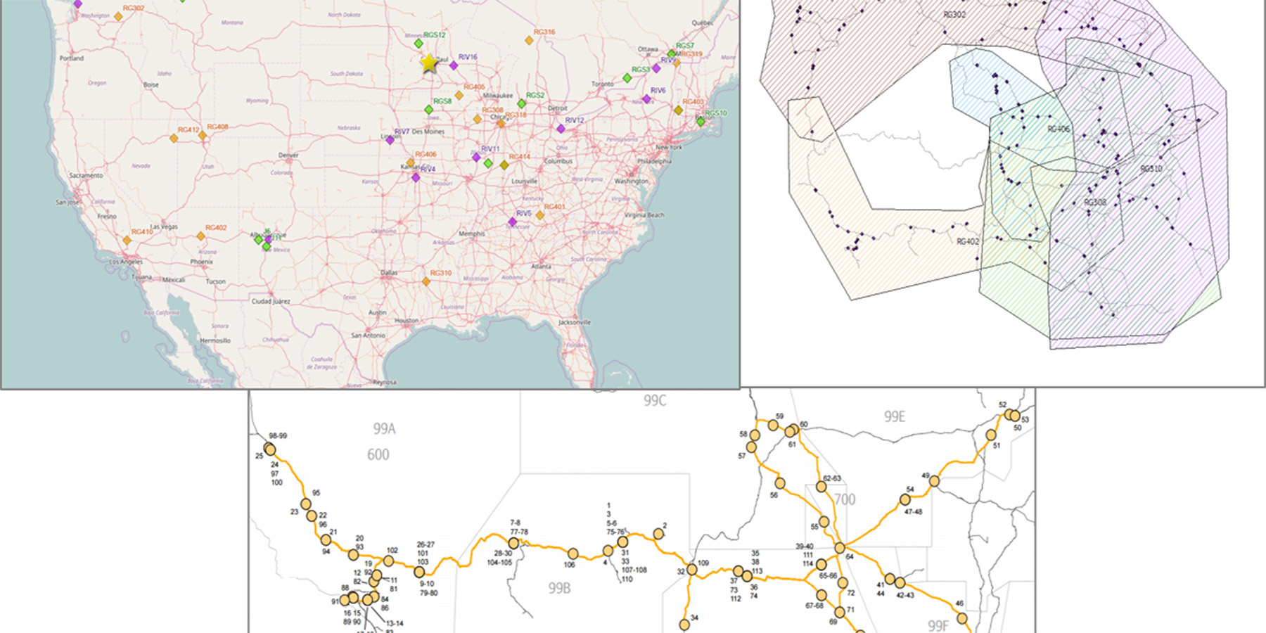
Grind Planning/GIS
Loram was one of the first to incorporate geographic information system (GIS) software into information system suites designed to more efficiently manage assets, maximise throughput and safety, and minimise disruptions and delays. Today, GIS supports many railway functions including infrastructure management and maintenance planning and execution, rolling stock management, safety and security, design and construction.